
DoC Mapping
Harahan, Louisiana, United States
DoC Mapping
!


Depths of Cover Specialists. Leveraging advances in locating sensor and GPS technologies to deliver previously unavailable pipeline mapping and depth of cover data faster.
About DoC Mapping
We are at the cutting edge of pipe and cable locating technology! Our founding team members have come together to combine their unique skillsets and provide an illustrative depth of cover and mapping representation of underground pipelines and electrical cables.
Expert Service. Exceptional Data. Quality Results.
Pipeline operators and utility companies worldwide are increasingly required to provide positional and depth of cover data for pipelines and cables at locations where they cross bodies of water, sensitive ecological zones, active geologic zones, and utility right-of-ways. Without this data, there is a possibility of recurring regulatory fines. That’s where we come in.
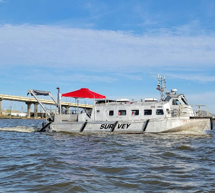
Description of Services
No matter the size and scope of your project, we excel at meeting client specifications and industry standards while satisfying project deliverables.
No matter the size and scope of your project, we excel at meeting client specifications and industry standards while satisfying project deliverables.
- Depth of Cover Surveys
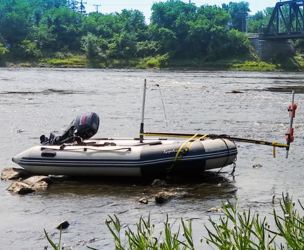
Depth of Cover Surveys for locations where pipelines or other utilities cross waterways.
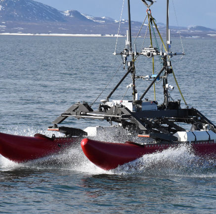
- Bathymetric Surveys
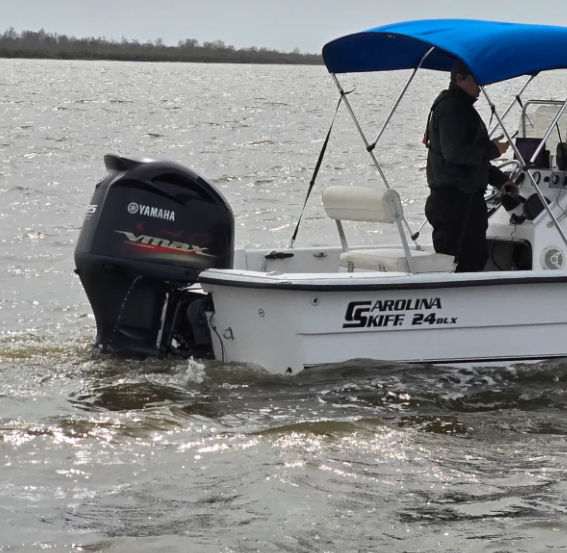
Bathymetric surveys are also available as a standalone service. We have multiple survey methods available.
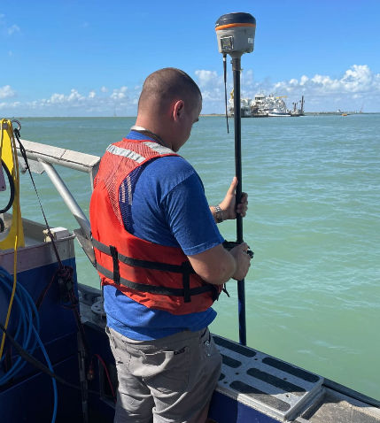
- Pipe and Cable Tracking
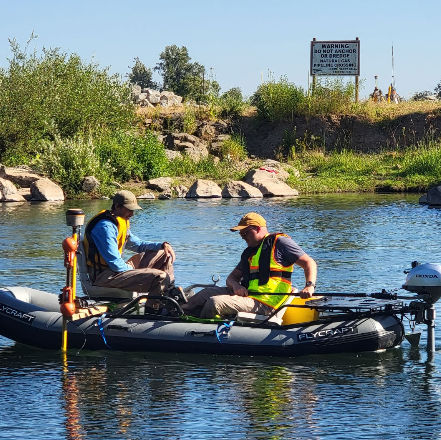
Pipe or utility tracking across large survey areas using survey grade locating, sonar and GPS Systems.
- Right of Way Surveys
Pipeline and utility right-of-way (ROW) surveys to verify location and condition of the utility within the right-of-way.
- Site Utility Surveys
Surveys can incorporate multiple sensors and techniques to determine site readiness for new construction activities or retrofits.
What we do
We take a Revolutionary Approach to bring you Unparalleled Results.
DoC Mapping’s innovative approach to buried pipeline and cable mapping is revolutionizing the way that depth of cover surveys are conducted and the manner in which the data is reported. With years of experience, the DoC Mapping team has developed a process that allows these surveys to be completed faster, safer and more accurately than the more traditional methods (i.e. diver jet-probing, sub-bottom profiling and magnetometer readings). Our reduced time on-site results in a lower cost to the operator.
Whether buried in a shipping channel or under a residential neighborhood, DoC Mapping provides a detailed representation of the target infrastructure that is unlike anything previously available. For surveys in waterways, divers are not required, increasing safety and dramatically reducing exposure to liability. For surveys on land, the density of data points is vastly increased, in some cases over 1000-fold.
Integration of top of the line GPS and locating technologies allows all data points to be time-synced and geo-positioned automatically resulting in accuracies that were previously unavailable.
- Improved Safety
Safety is job #1 and it encompasses all that we do.
- Faster Turnaround
Our time-saving process keeps overall costs low.
- Increased Accuracy
We use tech selection and integration to drive results.
- Better Data Quality
Innovative methods bring vastly superior results.
We use Collaboration and Innovation to provide Exceptional Results.
DoC Mapping utilizes an extensive network of partners, including locally licensed engineers and land surveyors, throughout the US and Canada. Our partner network allows for smoother operations and assures compliance with local regulations.