
SKYWATCH
Kitchener, Ontario, Canada
SKYWATCH
!


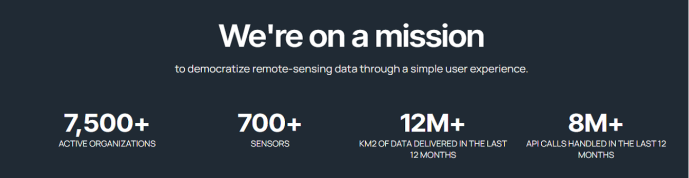
The world's leading geospatial data platform.
About SKYWATCH
The SkyWatch platform enables innovation across the geospatial data value chain, from provider to end user. We created SkyWatch to empower our customers to use geospatial data to solve their most critical business challenges.
We believe that the best way to understand our planet is to look at it from space.
Geospatial data provides the insights we need to solve some of the world’s most challenging problems. But anyone who had never used satellite data before was going to struggle. We realized the real opportunity in remote sensing was making this data easily accessible and affordable to all. Our goal is to make this powerful data accessible so we can make the planet a better place.
Description of Services
Our history
The SkyWatch founding team met at the NASA Space Apps Challenge in 2014, where they worked on a piece of software called SkyWatch that would provide astrophysicists with near real-time data from NASA’s space observatories.
Although the team went on to win the global Space Apps challenge with that software, their imagination was captured by the power of democratized access to Earth observation. SkyWatch launched the world’s first API for geospatial data in 2016, with the vision of unleashing the power of Earth observation data for commercial, end-user applications.

What we do
What we do
We’re changing the way geospatial data is accessed, managed, and distributed.
Explore
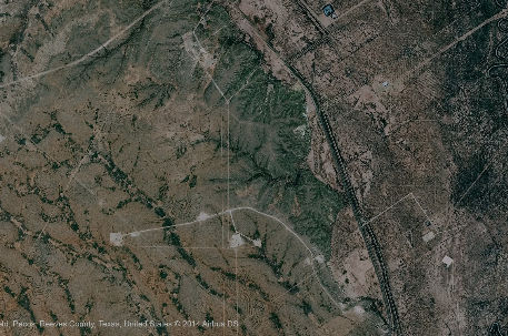
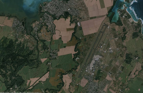
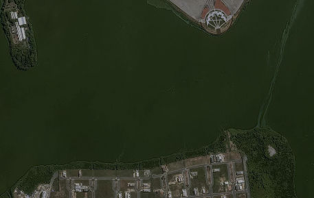
Access 700+ sensors from the world’s leading data providers in one application, at transparent, pay-as-you-use prices with EXPLORE.
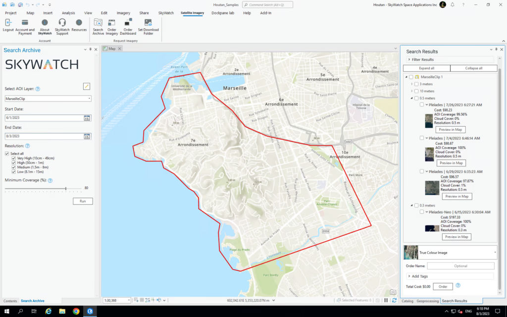
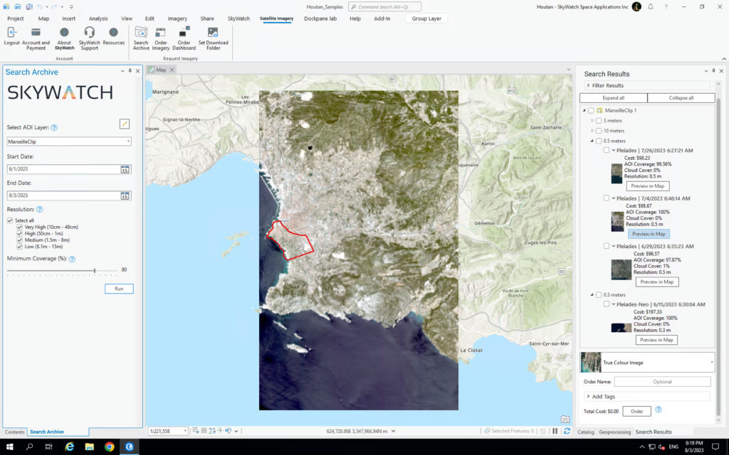
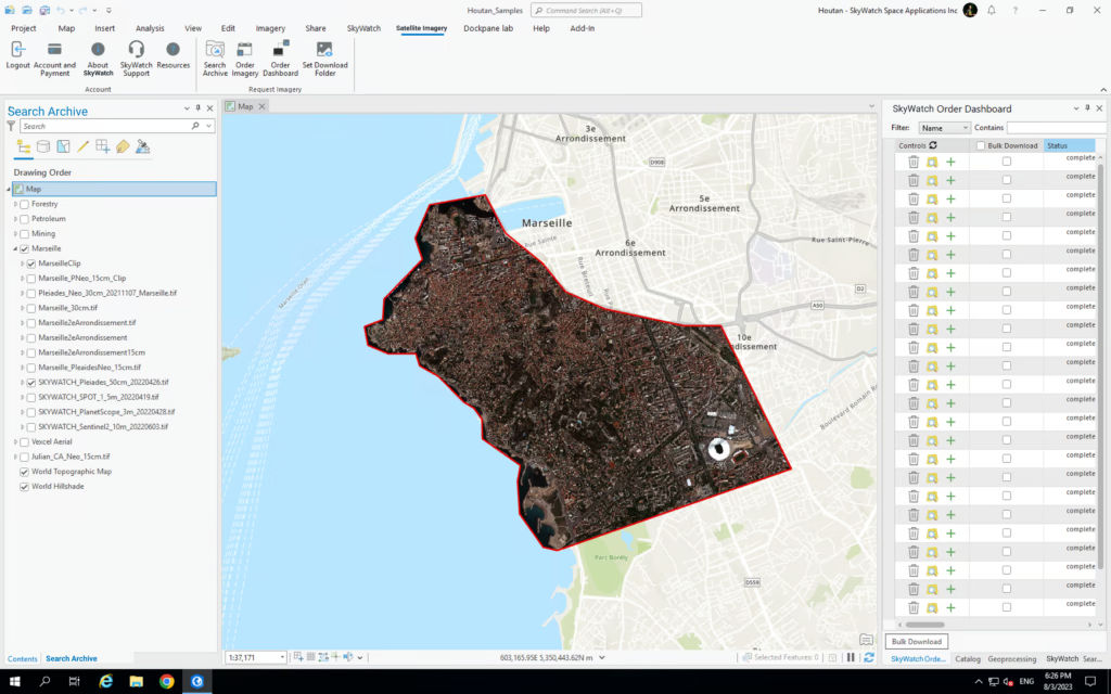
Hub
Get more out of your investment in geospatial data with HUB, SkyWatch’s solution for managing data procurement, storage, payment, and sharing across your organization.
Map
Access up-to-date satellite imagery and other types of geospatial data, right within your GIS workflows, with MAP.
Build
Access data from 700+ sensors and SkyWatch platform services to integrate geospatial data into your application with BUILD.
Connect
Reach hundreds of thousands of users, through SkyWatch platform applications and 3rd-party marketplaces, with CONNECT.