Registration is Free

GEOINFORMATICS SOLUTIONS - Remote Sensing Services

Share
Description of Service
Pan India offers world class services in Thematic mapping, Topographical mapping, surveying and spatial data analysis using the 'state-of-the-art' technology of Remote Sensing, Photogrammetry, GPS, LIDAR and Geographical Information System (GIS).
Globally, Geoinformatics has evolved as a revolutionary tool to support decision making in Governance, Urbanization, Transportation, Communication, Natural Resource, Agriculture, Environmental and many more.
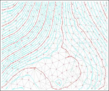
Remote Sensing Services
- Procurement of appropriate satellite data
- Georeferencing
- Ortho - Image Generation
- Digital Classification & Interpretation
- Features Extraction
- Map Generation
What You Will Get From Purchasing This Professional Service. Deliverables
GEOINFORMATICS SOLUTIONS - Remote Sensing Services
Duration To Complete Service. How Long Before Service Is Completed
1-3 months
Pan India Group, started operations in 1985, Provides Services in Oil & Gas, Mining, Geographical Management System (GSI), Remote Sensing and Photogrammetry and represents a wide spectrum of OEMs covering diverse customer base including Railways, Oil, Gas, Defence, Power, Nuclear, Space, Scientific Labs and Research organization, Public & Private Sector in India and neighbouring countries. The Group has been instrumental in bringing new technologies into India from countries like USA, Canada, UK, France, Italy, Germany , Russia and Japan backed by a complete range of start-up and support services, facilitating absorption of state-of-the-art technology. The Group today has a large pool of talent in the areas of system integration consultancy, marketing and after sales services. The group employs over 300 motivated staff.
Ratings & Reviews
No Ratings & Reviews given yet..
More Professional Services From Pan India Consultants Pvt. Ltd.

GEOINFORMATICS SOLUTIONS - Natural Resource Mapping & Management

Pan India Consultants Pvt. Ltd.
10,000.00 - $1,000,000.00

GEOINFORMATICS SOLUTIONS - Land Record Management
Pan India Consultants Pvt. Ltd.
10,000.00 - $500,000.00

GEOINFORMATICS SOLUTIONS - Urban Planning & Management
Pan India Consultants Pvt. Ltd.
10,000.00 - $100,000.00

GEOINFORMATICS SOLUTIONS - Digital Terrain Modelling
Pan India Consultants Pvt. Ltd.
10,000.00 - $1,000,000.00

GEOINFORMATICS SOLUTIONS - Geographical Information System (GIS)
Pan India Consultants Pvt. Ltd.
10,000.00 - $1,000,000.00

GEOINFORMATICS SOLUTIONS - Remote Sensing Services
Pan India Consultants Pvt. Ltd.
10,000.00 - $1,000,000.00
GEOINFORMATICS SOLUTIONS - Photogrammetry
Pan India Consultants Pvt. Ltd.
10,000.00 - $1,000,000.00

GEOINFORMATICS SOLUTIONS - GPS/DGPS based Land Survey
Pan India Consultants Pvt. Ltd.
10,000.00 - $1,000,000.00
Similar Services (Recommended services)


Martins Peter
10,000.00 - $10,000,000.00


GEO LINE SOLUTION
10,000.00 - $10,000,000.00


